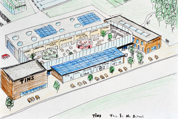
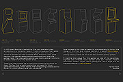
 これは学校ではありません
英語のみでの詳細Learning is working best when kids are into subjects of study that match their interests. It also works well when projects are realistic.
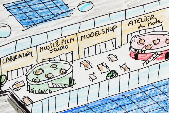
Also there has to be place for the making. It should be possible to make prototypes, do experiments, program shows and produce goods to express yourself.
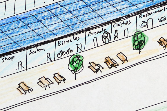
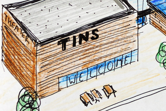
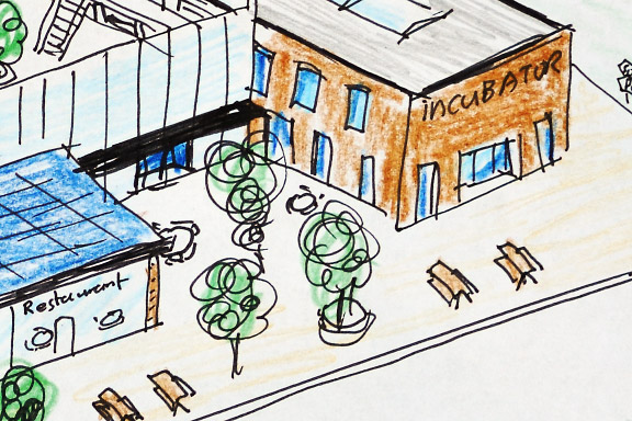
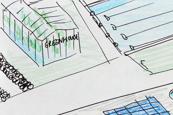
This Is No School is the world on a stamp. A meeting square, workshops, labs, a theater, a fram, sporting facilities, restaurants, shops and a hotel.
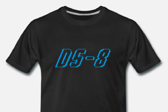
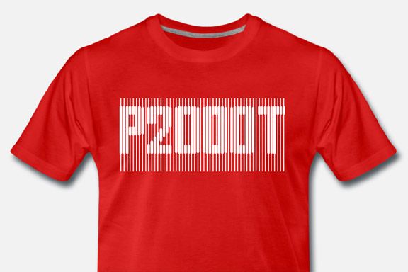
 80's T's
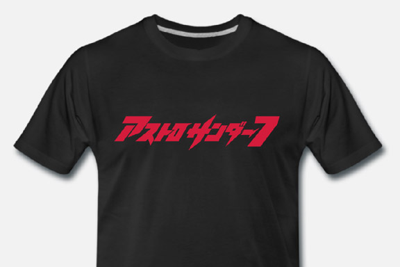
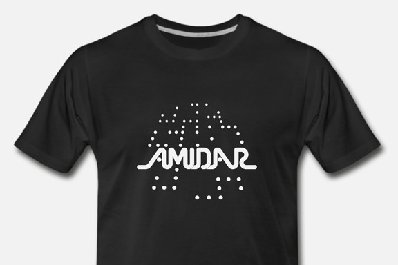
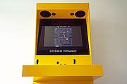
英語のみでの詳細For my Youtube channel 2kB of Fun, I made several T-shirts based on logo graphics from 80's video games and electronic gadgets.
Notice: Undefined variable: tekst in /home/w1512188/domains/martijnkoch.com/public_html/index.php on line 285
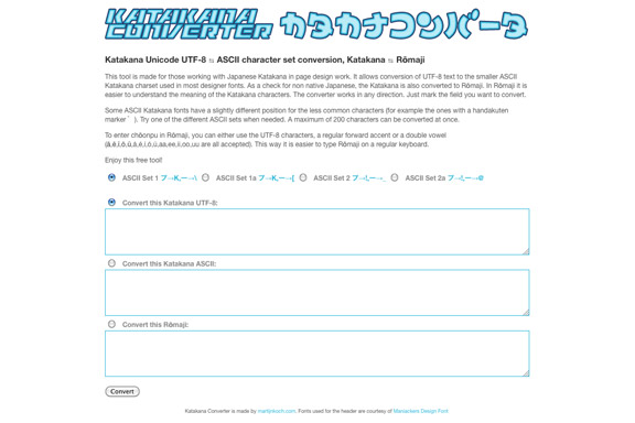
 カタカナコンバータ
Notice: Undefined variable: tekst in /home/w1512188/domains/martijnkoch.com/public_html/index.php on line 296
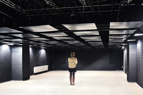
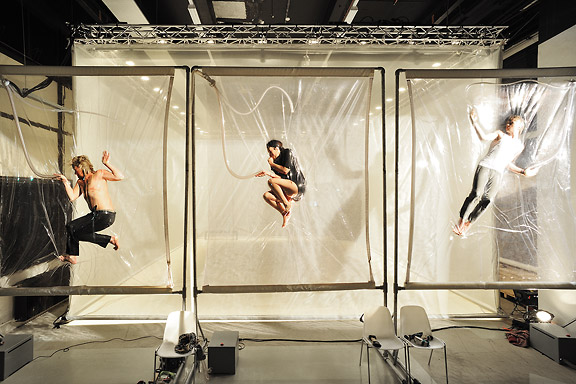
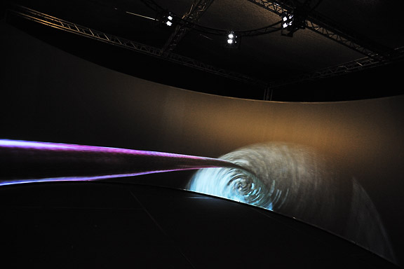
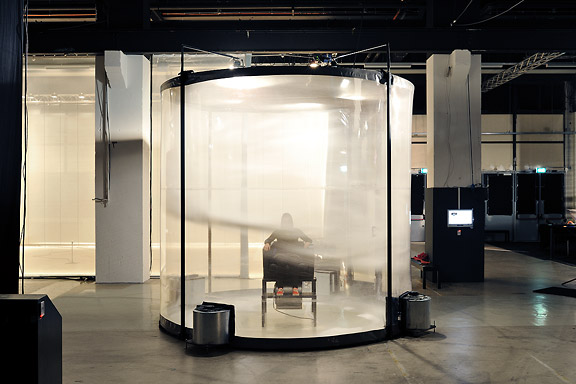
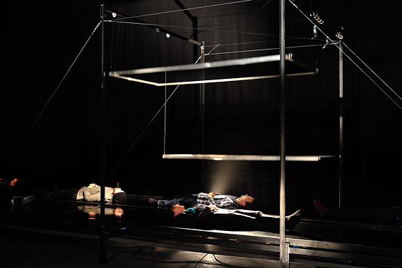
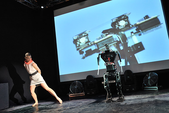
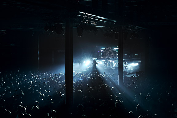
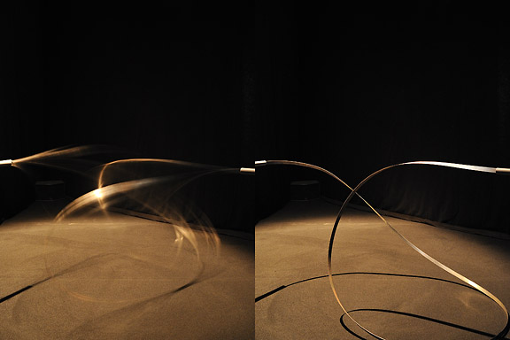
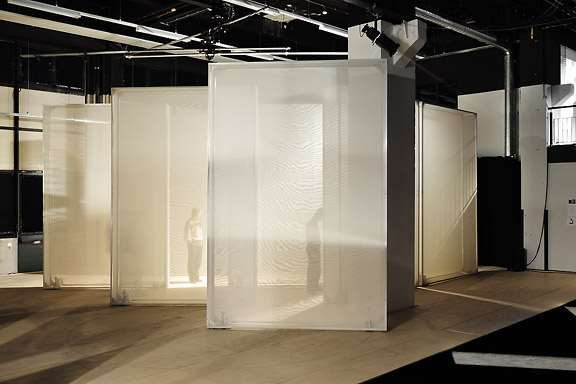
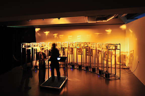
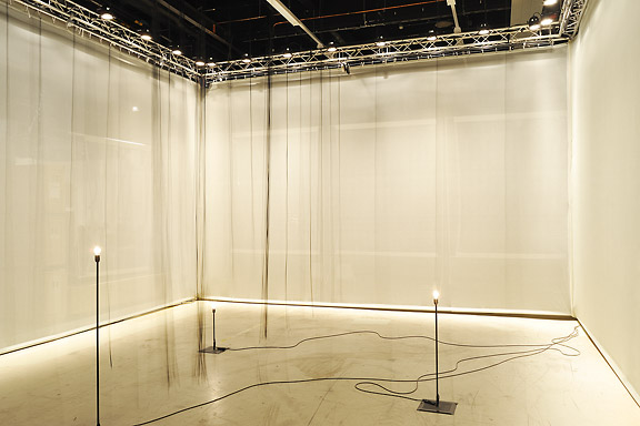
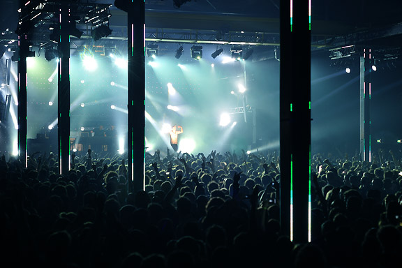
 STRPフェスティバル2010
ミック・ヴィッセルによる撮影マルタイン・コッホによる画像操作
左から右へ:
クリストフ・デ・ボエック、鋼の天井
ローレンス・マルスタフ、縮む
ジャン・ミッシェル・ブリュイエール、息子の分散
ローレンス・マルスタフ、ネモ天文台
ローレンス・マルスタフ、トランスポーター
ローズ・ファン・ベルケル&チューリップ、一種の2
ブラッディ·ビートルーツデスクルー77
ローレンス・マルスタフ、結び目
ローレンス・マルスタフ、ミスト
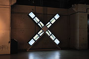
マルコム・マッキーバー&マルレーナ・ノバック&ジェイ・アラン・ジム、スケール
ローレンス・マルスタフ、領土
アンダーワールド
 ナビゲーションに失われた
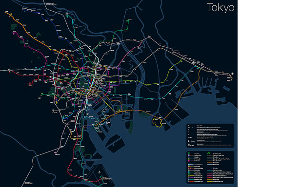
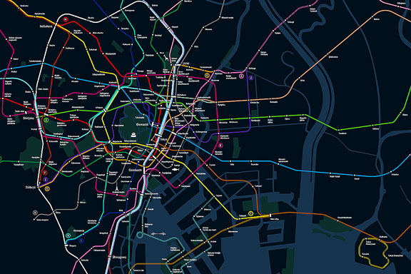
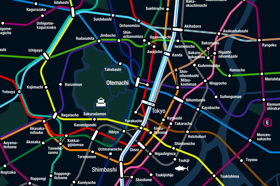
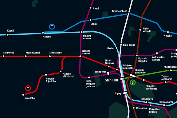
英語のみでの詳細Tokyo is a breathtaking city. Most metropolises have 1 urban railway network. Easy. Tokyo, the biggest metropolis on Earth, is a lot more complex.
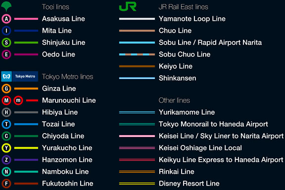
The city has 2 official subway companies, the national railway operates several lines that can be considered metro lines as well, and there are tens of private operated railways that serve may areas just outside the central part of the city. Another problem is that many transfer stations use different station names on each line connected.
Creating a understandable subway map for this city is extremely complex. Should it be schematic, or geographic realistic? When is it easier to have a short walk than to switch lines?
This metro map for Tokyo only shows the most important lines for visitors of the city. That is already 25 lines! All distances are realistic, and the connections to Airports and Shinkansen trains are clearly visible. The parks that give a good orientation in the grey urban mass of Tokyo are visible. Icons show the most important landmarks. Matching the million neon lights the map is drawn in a night situation with the lines as glowing neon tubes.
The map is printed on 100x75 cm photo paper in a limited run, an can be ordered. Send an e-mail or call if you are interested to order.
 いくつかのビールをしたいです?
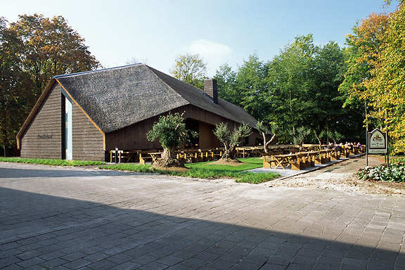
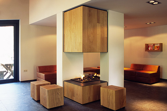
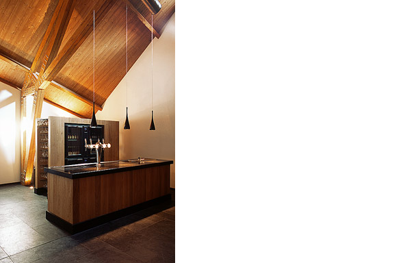
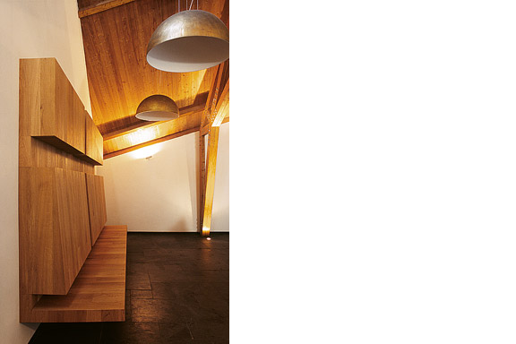
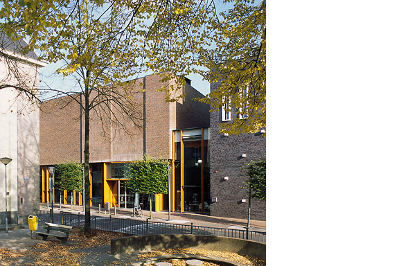
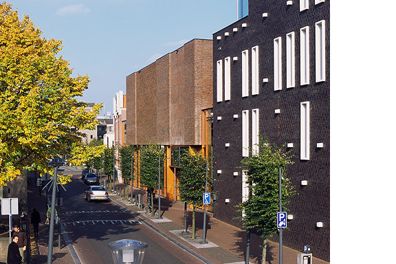
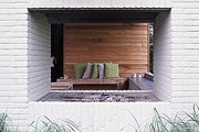
英語のみでの詳細ZZEF asked me to photograph 2 projects designed by Johan van den Berkmortel for the architecture portfolio of ZZEF.
One project is a beer cafe at the monk brewery Koningshoeve and the other is the Bavaria House in Helmond.
 私はあなたにバラ園を約束したこと
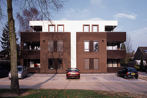
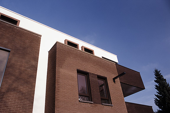
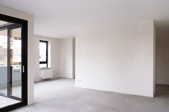
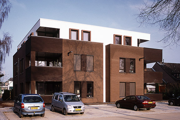
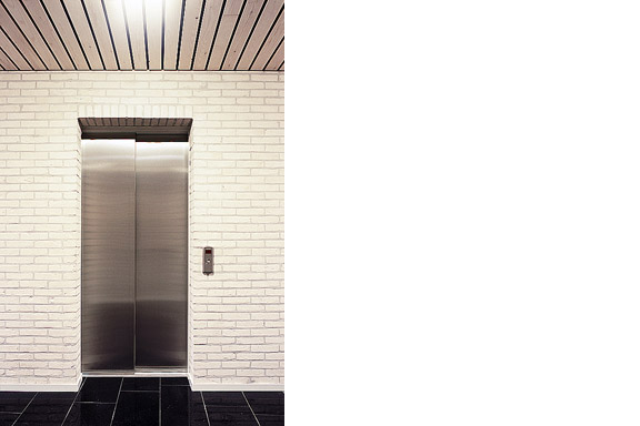
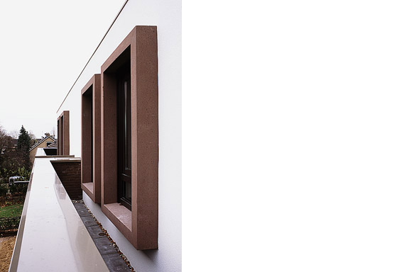
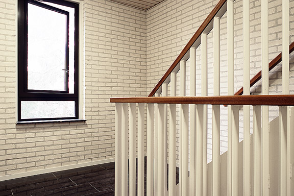
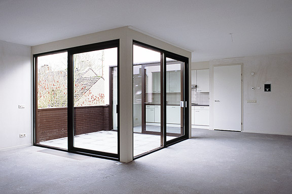
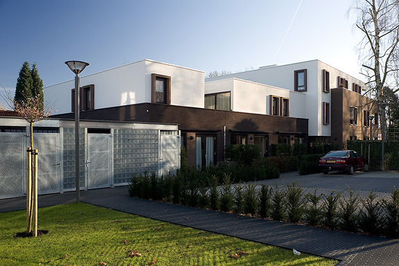
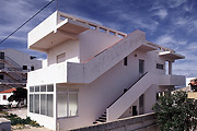
英語のみでの詳細An abandoned commercial plot in the centre of Heteren had to be filled with 19 apartments. Contractor Kuijpers had moved to the city limits and the housing corporation "Woningstichting Heteren" had 4 outdated senior-citizen houses on the adjacent plot at the Rozenpad street. The combined plot connects a traditional village street with a seventies extension to Heteren. The housing coorporation asked me to design the modernist block fitting the seventies area.
I designed this appartment block as employer of Bouwkundig ontwerp- en adviesburo van Zeist BV
 お化けの世界
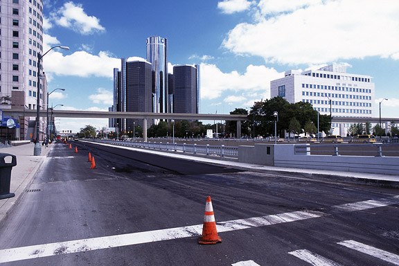
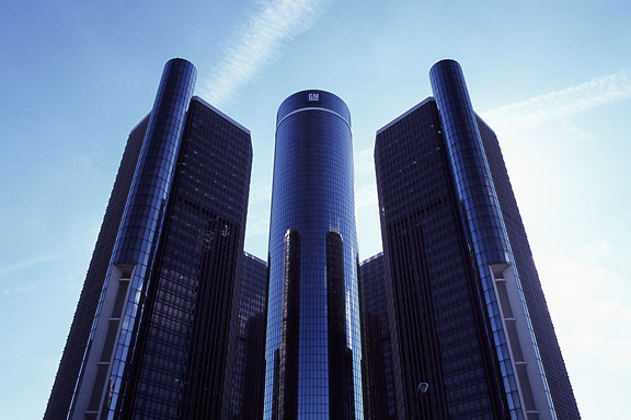
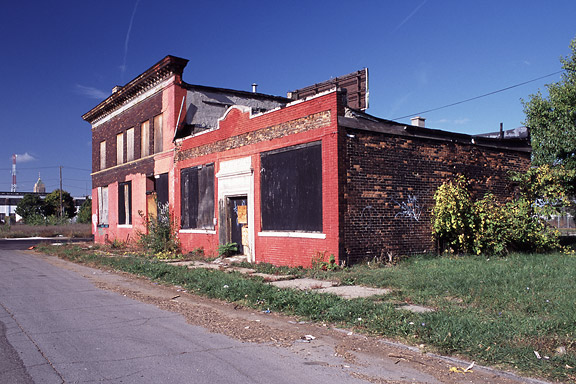
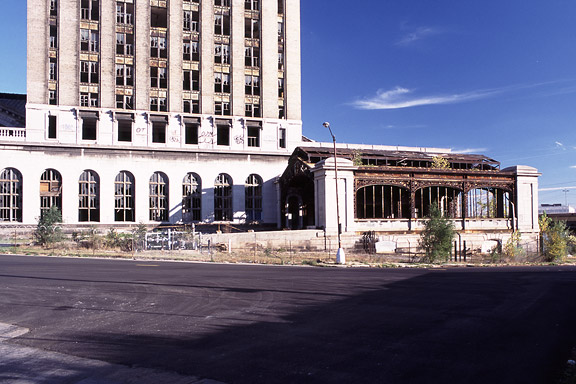
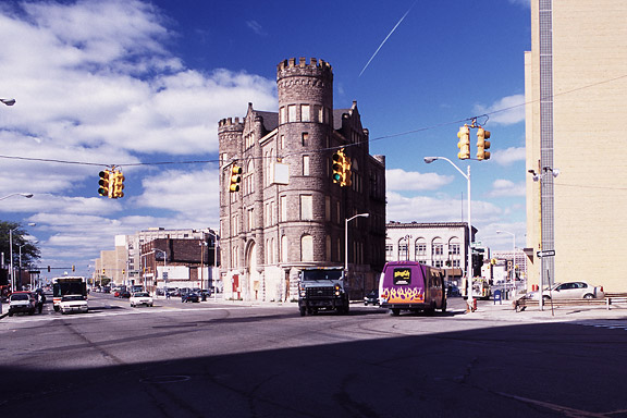
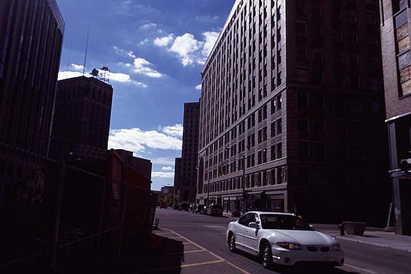
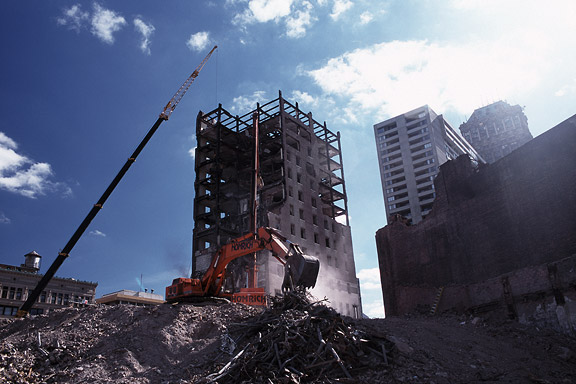
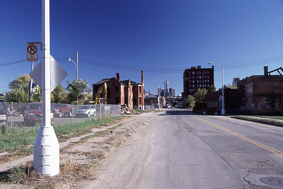
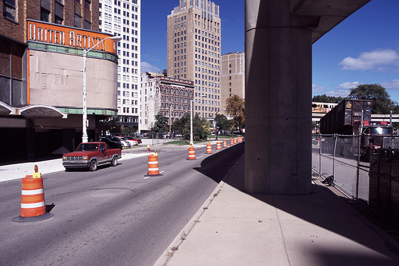
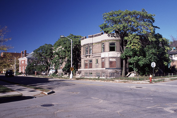
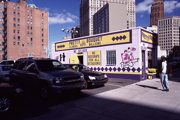
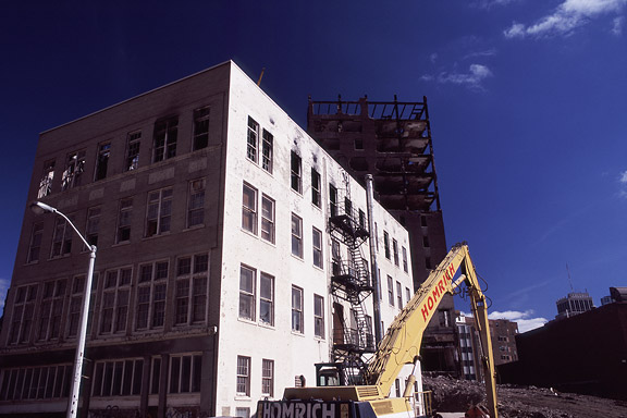
英語のみでの詳細Detroit is a weird city. The city disappears slowly and turns back to nature. Not caused by war or disaster, it vanishes because of economic irrelevance. De automotive industry moved towards the Mexican border. Jobs are gone. The city renders useless. The General Motors headquarters still shine as a major highlight downtown. Perhaps as an icon for the glorious past.
These photographs are taken during a trip of the USA and Canada in the autumn of 2005.
