Vision on learning written for teacher degree program
2018
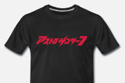
T-shirts for YouTube channel 2kB of Fun
2018
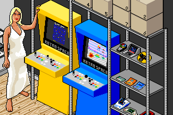
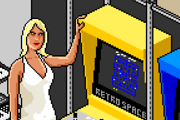
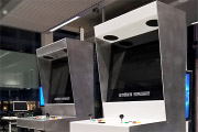
Fourth incarnation of the Retro Space arcade cabinet in aluminium
2017
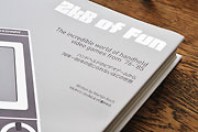
The incredible world of handheld video games from ‘76-’85
2013
Een plat pakket doe-het-zelf versie van Retro Space
2013
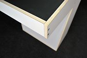
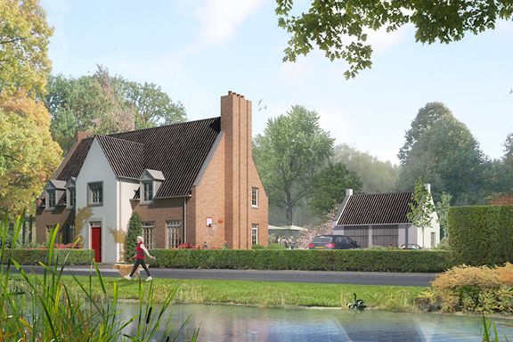
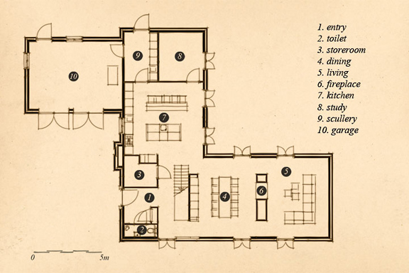
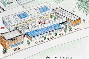
Renewal of house extension with new car port for DAF 46
2012
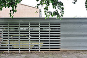
Photo report of the STRP Festival 2011 by Mick Visser
2011
Tool to convert Rōmaji, Katakana and ASCII/UTF-8
2011
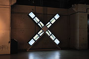
Photo report of the STRP Festival 2010 by Mick Visser
2010
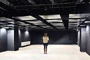
Colaboration with bureau ZZEF
For more information check out:
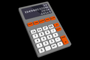
Redesign of the classic office desk calculator within 1 hour
2010
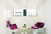
Interior photographs of creative companies in a former Philips factory
2010
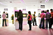
26 arcade cabinets for Dutch Game Garden
2010
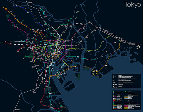
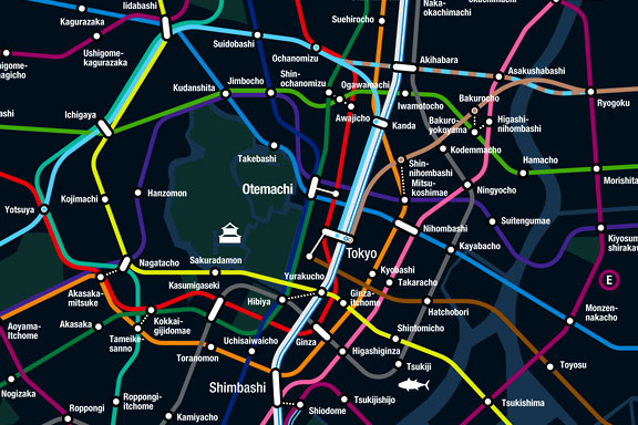
Tokyo is a breathtaking city. Most metropolises have 1 urban railway network. Easy. Tokyo, the biggest metropolis on Earth, is a lot more complex.
The city has 2 official subway companies, the national railway operates several lines that can be considered metro lines as well, and there are tens of private operated railways that serve may areas just outside the central part of the city. Another problem is that many transfer stations use different station names on each line connected.
Creating a understandable subway map for this city is extremely complex. Should it be schematic, or geographic realistic? When is it easier to have a short walk than to switch lines?
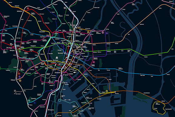
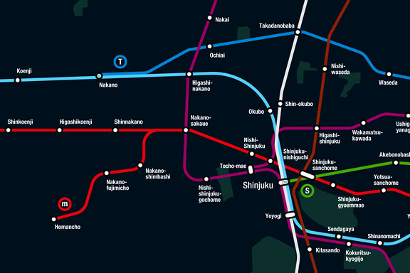
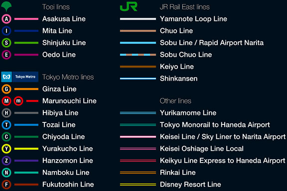
This metro map for Tokyo only shows the most important lines for visitors of the city. That is already 25 lines! All distances are realistic, and the connections to Airports and Shinkansen trains are clearly visible. The parks that give a good orientation in the grey urban mass of Tokyo are visible. Icons show the most important landmarks. Matching the million neon lights the map is drawn in a night situation with the lines as glowing neon tubes.
The map is printed on 100x75 cm photo paper in a limited run, an can be ordered. Send an e-mail or call if you are interested to order.
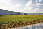
A new factory for Kingspan insulation panels at Medel near Tiel
2009
A man is a real man, if welding is what he can!
2009
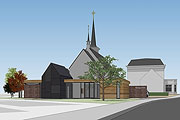
A new catholic community centre for Heteren
2009
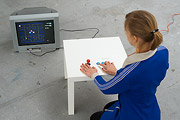
Hacking Ikea table with Sega Megadrive or Pac Man inside
2009
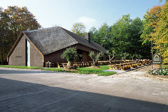
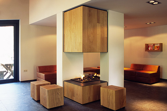
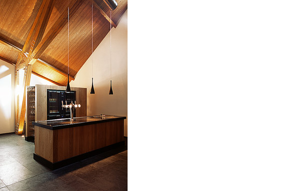
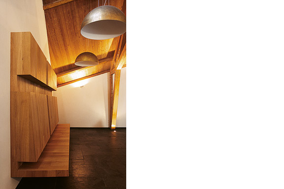
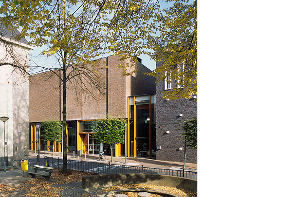
ZZEF asked me to photograph 2 projects designed by Johan van den Berkmortel for the architecture portfolio of ZZEF.
One project is a beer cafe at the monk brewery Koningshoeve and the other is the Bavaria House in Helmond.
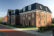
8 Apartments for senior citizens in Heteren
2008
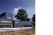
A new business building for 2 entrepreneurs in Kesteren
2008
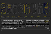
Website for Retro Space
2008
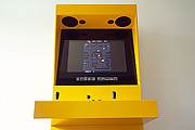
Modern arcade cabinet for home use
2008
Entry Europan 9 Martijn Koch and Wendy van Rosmalen
2007
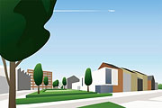
11 Apartments for senior citizens at the Rozenpad in Heteren
2007
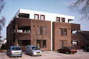
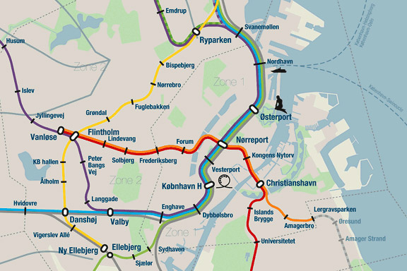
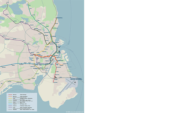
When we visited Copenhagen, I was surprised by the complex metro map for the very small network. It should be possible to draw a map easier to understand and graphically more appealing to visitors.
I designed a new metro map that shows the relation with the city. It combines all trains with different schedules on similar routes to bring back overview.
Autonomous work
Veranda extension to house in Beek en Donk
2006
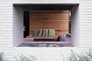
Concept for a modern picture story based on Cinderella
2005
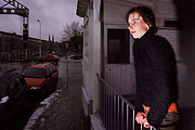
A digital magazine on sustainability, photography, cityscape and opinion
2005
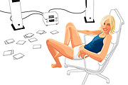
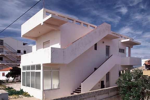
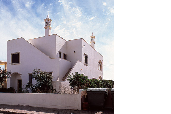
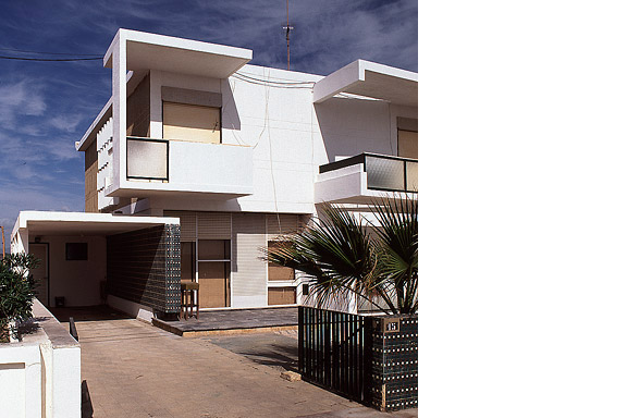
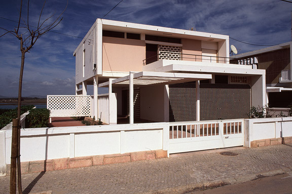
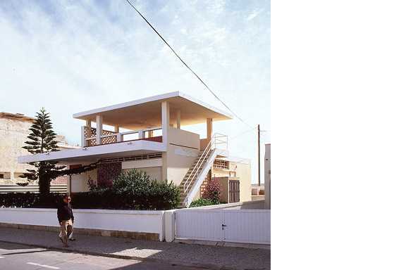
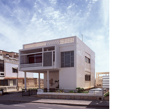
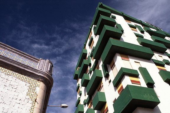
For most tourists the city of Faro in southern Portugal is nothing more than an entrance by plane to the Algarve. Which is a pity. The biggest city of southern Portugal is probably the only one giving room to creativity. You will not see kitsch appartment blocks for Dutch and Germans, but subtile shaped private houses for the Portugese themselves. You will see images that remind of modernists like Gerrit Rietveld, Adolf Loos and Le Corbusier. You will wonder wheter MVRDV got inspiration here, or if Portugese architects checked out work of the Durch architecture firm.
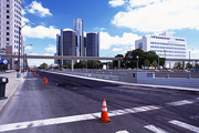
Photographs of Detroit
2005
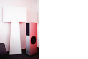
Mixture of the Big Shadow and the Fake Lamp
2004
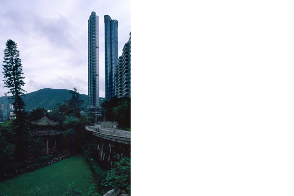
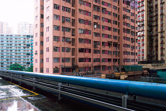
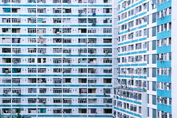
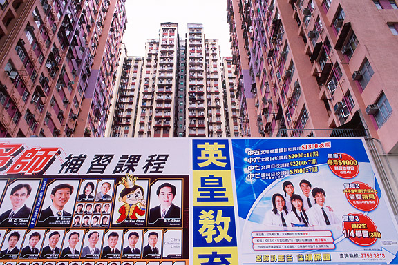
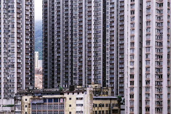
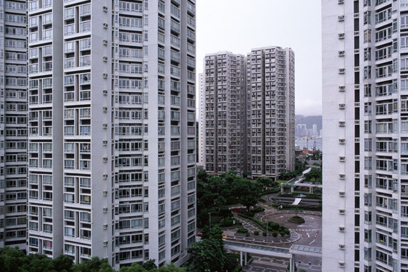
Hong Kong has little room to built. There is a small piece of land to build on between the water and the mountains. The only option to house the millions of citizens is to use efficient towering blocks. Some area's have a FAR (floor to ground area aspect ratio) of 5 to 10.
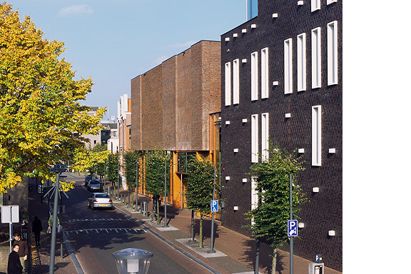
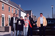
Portrait of the Brandevoort city extension of Helmond
2004
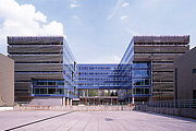
Office building for the Dutch Tax Administration
2003
 Lost in Navigation
 Want some Beers?
 Little Mermaid


