 STRP Festival 2011
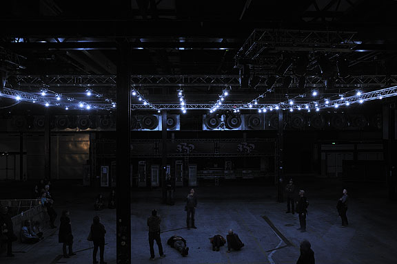
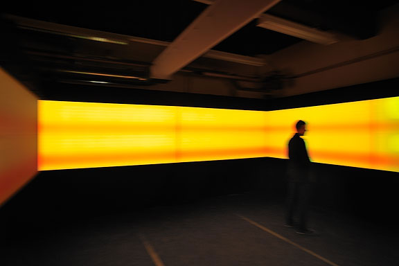
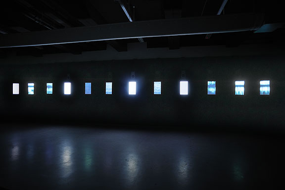
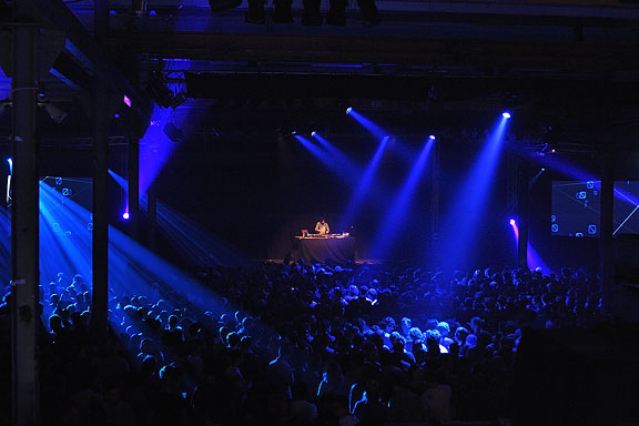
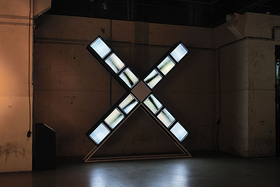
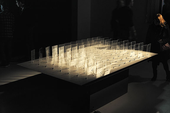
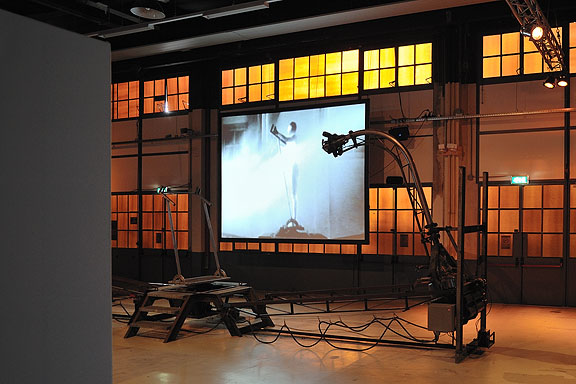
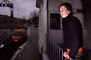
Mick Visser made a photo report of the STRP Festival 2011 in Eindhoven. I participate in the photography process as image editor. Our colaboration results in the best posible quality for the images.From left to right:
Bert Schutter - Mill X Molen - 1982
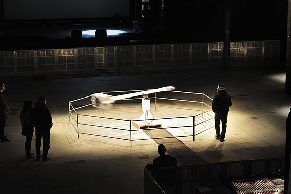
Edwin van der Heide - DSLE2 - 2011
Telcosystems - 12_series - 2010
Kutmah - 26 November 2011
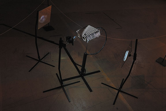
Edwin van der Heide - Evolving Spark Network - 2010/2011
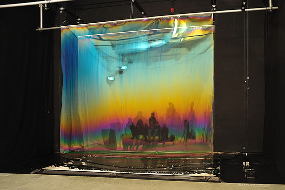
Macular - Phase=Order - 2010
Bram Snijders, Carolien Teunisse - RE: - 2010
Marnix de Nijs, Edwin van der Heide - Spatial Sounds - 2000/2001
Nicky Assmann - Solace - 2011
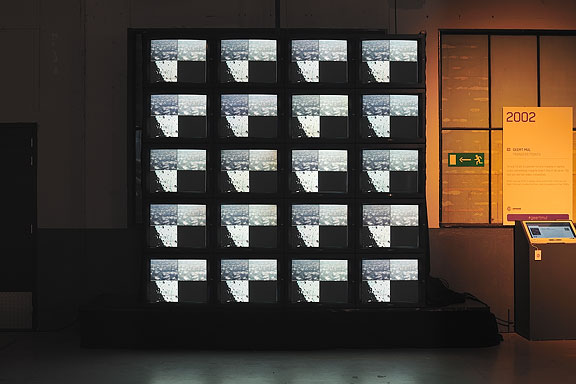
Geert Mul - Transfer Points - 2002
Erik Hobijn - The Delusion of Self Immolation - 1990
 Future Space
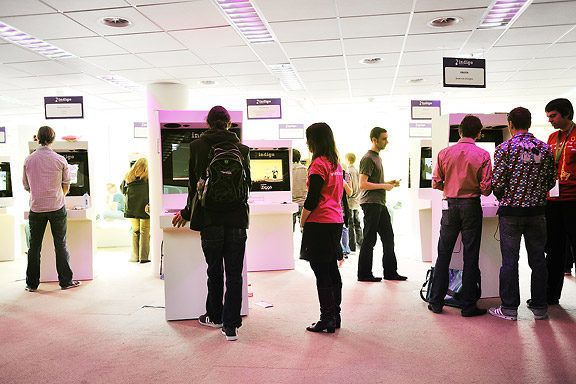
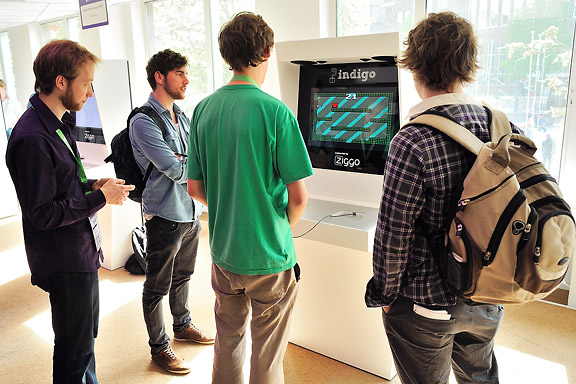
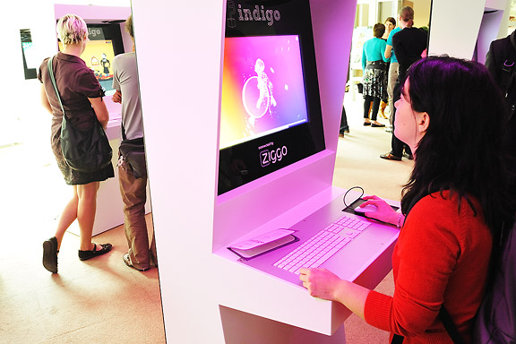
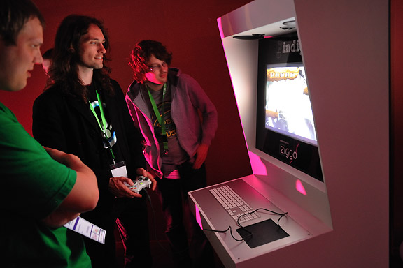
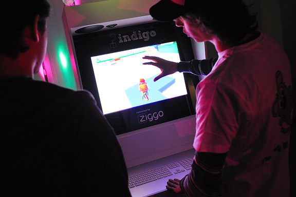
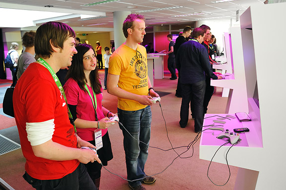
Dutch Game Garden is a non profit organisation for promoting and supporting the Dutch games industry.On april 23th DGG opened the Indigo Showcase event. This event shows a selection of the best contemporary projects of the Dutch games industry to the press, professionals and the general public.
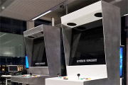
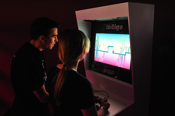
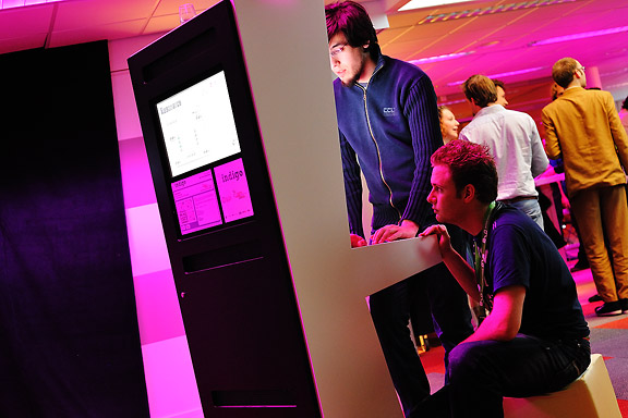
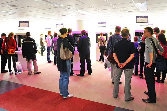
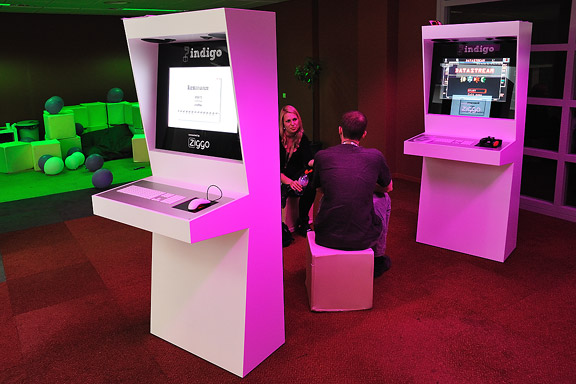
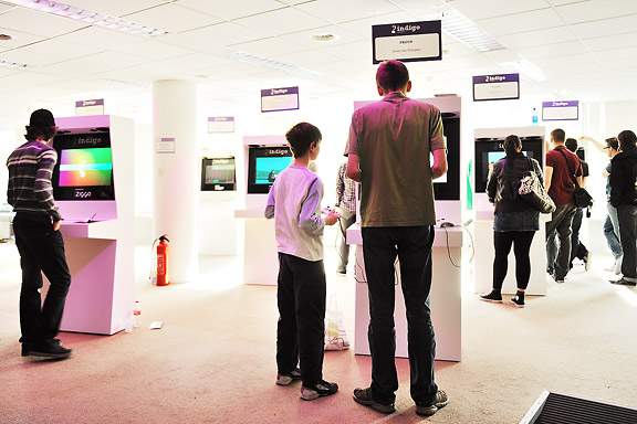
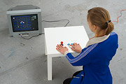
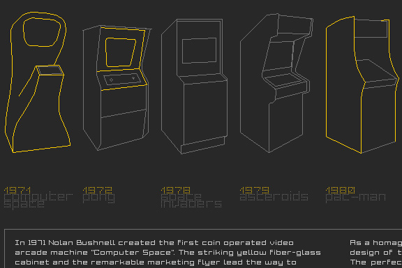
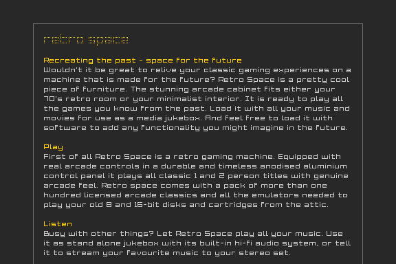
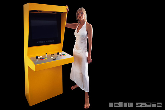
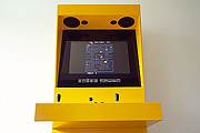
Dutch Game Garden asked me to build 26 Retro Space cabinets to showcase these games. The cabinets have a second screen in the rear access door. This display allows the creators to discuss their projects while someone is playing the game at the front.
The cabinets were set up in a rigid grid. This grid neutralised the amorphous dated office floor and gave structure to the showcase event.
Photo 4,8 and 10 courtesy of Mick Visser
 Lost in Navigation
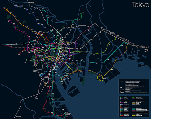
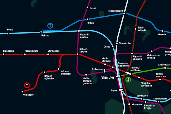
Tokyo is a breathtaking city. Most metropolises have 1 urban railway network. Easy. Tokyo, the biggest metropolis on Earth, is a lot more complex.The city has 2 official subway companies, the national railway operates several lines that can be considered metro lines as well, and there are tens of private operated railways that serve may areas just outside the central part of the city. Another problem is that many transfer stations use different station names on each line connected.
Creating a understandable subway map for this city is extremely complex. Should it be schematic, or geographic realistic? When is it easier to have a short walk than to switch lines?
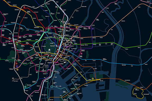
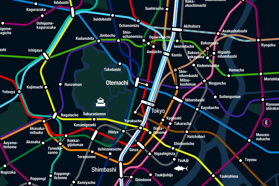
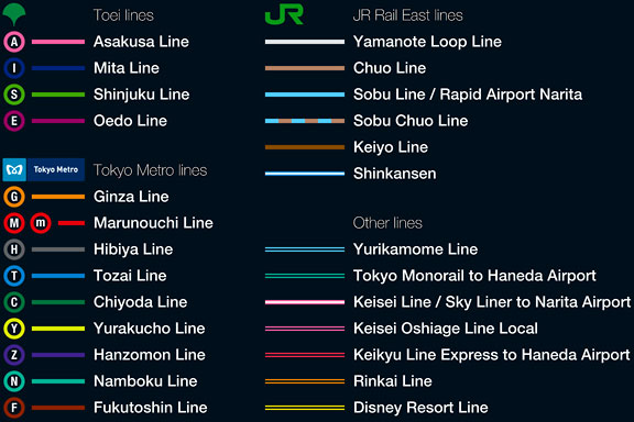
This metro map for Tokyo only shows the most important lines for visitors of the city. That is already 25 lines! All distances are realistic, and the connections to Airports and Shinkansen trains are clearly visible. The parks that give a good orientation in the grey urban mass of Tokyo are visible. Icons show the most important landmarks. Matching the million neon lights the map is drawn in a night situation with the lines as glowing neon tubes.
The map is printed on 100x75 cm photo paper in a limited run, an can be ordered. Send an e-mail or call if you are interested to order.
 Black Box
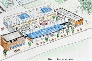
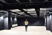
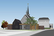
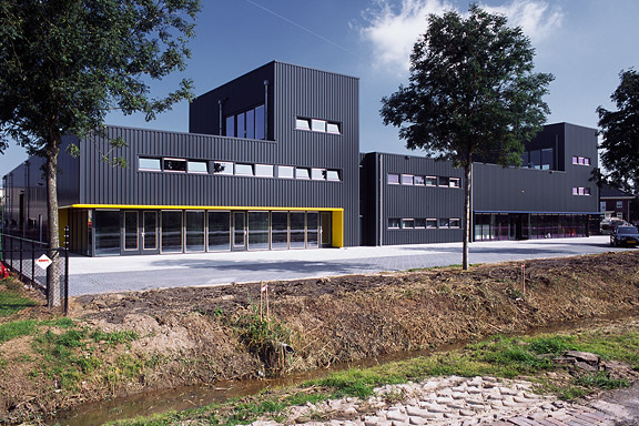
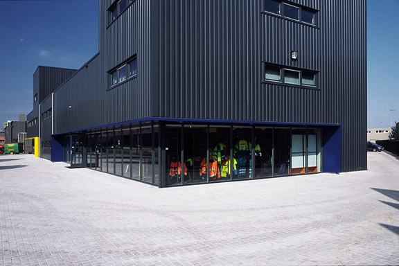
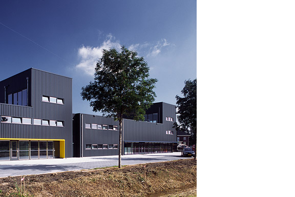
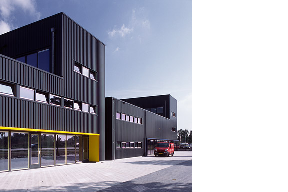
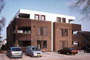
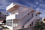
Painter Bert de Haas and salesman in business outfits Chris Hendriks both wanted a new business building in Kesteren. Because of fire regulations it was best to combine the two buildings. Otherwise a big part of the plot was useless.To preserve each ones identity and to answer the request for a good cantina, both parts of the building were accented by a small tower. These towers contain a special room looking out over the polders of the Betuwe.
The building is clad with anthracite profile sheets to ease the implementation of the detailing and to maximise the abstraction of the black boxes.
I made this design as employer of Bouwkundig ontwerp en adviesburo Van Zeist BV in Opheusden.
 Low Bandwith
When the design of Retro Space was finished, we needed a matching website.Because of the presumption that Retro Space could become a hit on the internet, we tried to make the website as small as possible. We did not want the website to crash on bandwidth problems.
Matching the style of the retro games, the website is designed in pixel art. All elements except some product shots are GIF images in 4 colours. It's just like the early years of internet when bandwidth was scarce.
 Little Mermaid
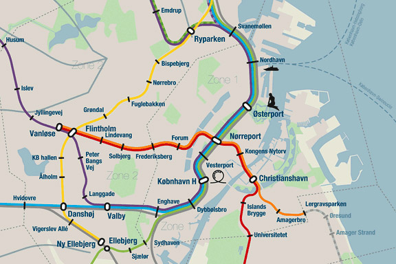
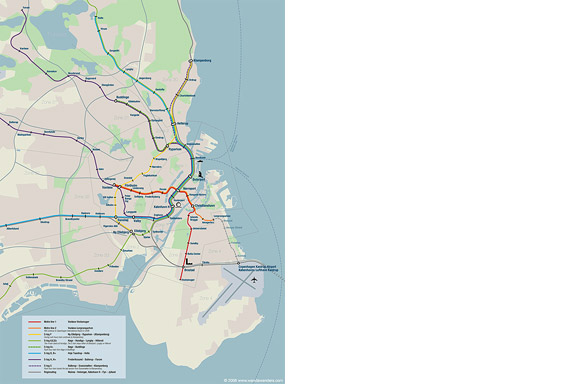
When we visited Copenhagen, I was surprised by the complex metro map for the very small network. It should be possible to draw a map easier to understand and graphically more appealing to visitors.I designed a new metro map that shows the relation with the city. It combines all trains with different schedules on similar routes to bring back overview.
Autonomous work
