 80's T's
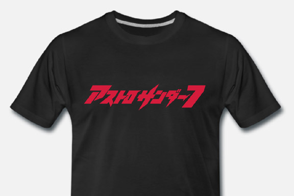
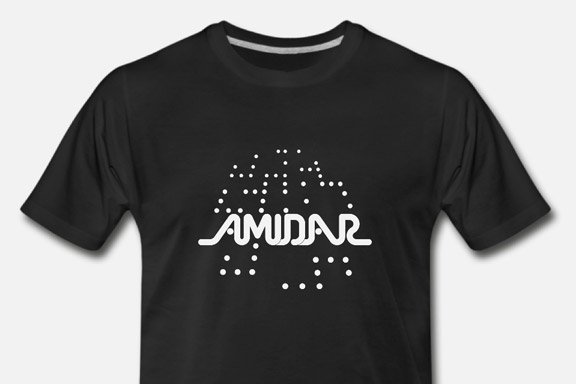
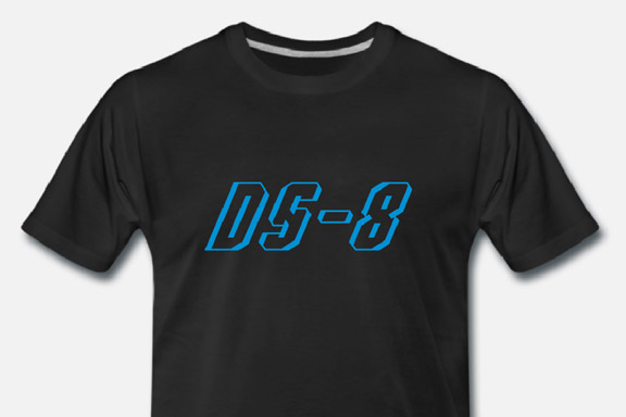
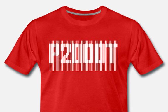
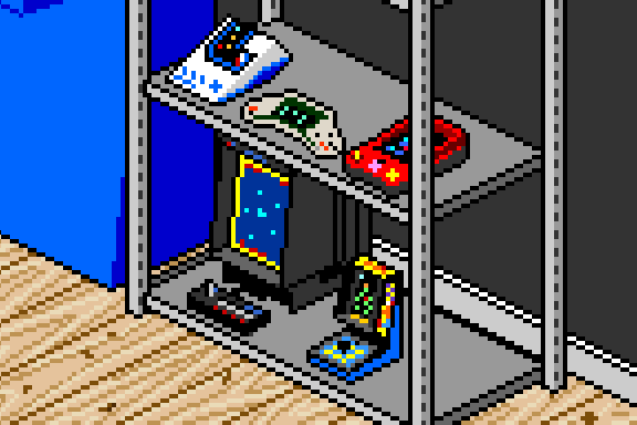
英語のみでの詳細For my Youtube channel 2kB of Fun, I made several T-shirts based on logo graphics from 80's video games and electronic gadgets.
Notice: Undefined variable: tekst in /home/w1512188/domains/martijnkoch.com/public_html/index.php on line 281
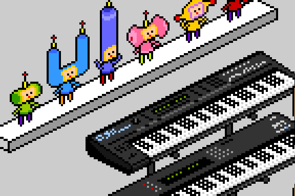
 ピクセルアート
Notice: Undefined variable: tekst in /home/w1512188/domains/martijnkoch.com/public_html/index.php on line 292
Notice: Undefined variable: tekst in /home/w1512188/domains/martijnkoch.com/public_html/index.php on line 281
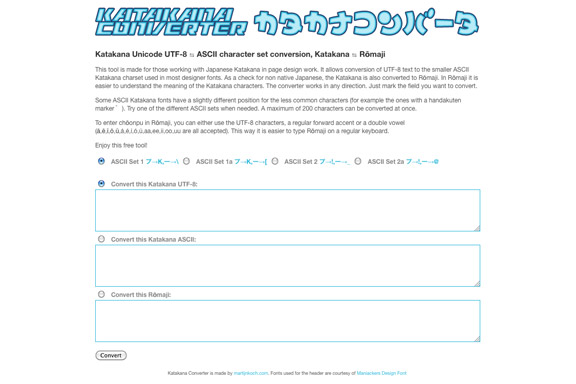
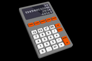
 カタカナコンバータ
Notice: Undefined variable: tekst in /home/w1512188/domains/martijnkoch.com/public_html/index.php on line 292
 将来の宇宙
将来の宇宙
英語のみでの詳細Dutch Game Garden is a non profit organisation for promoting and supporting the Dutch games industry.
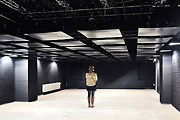
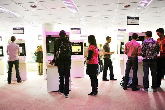
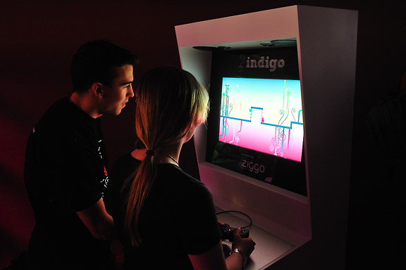
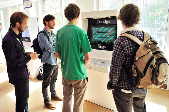
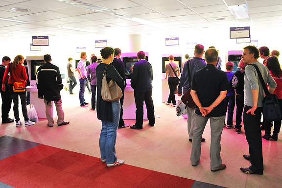
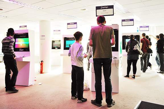
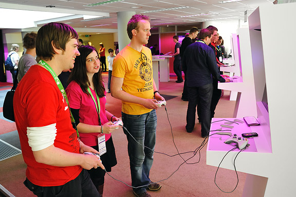
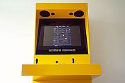
On april 23th DGG opened the Indigo Showcase event. This event shows a selection of the best contemporary projects of the Dutch games industry to the press, professionals and the general public.
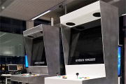
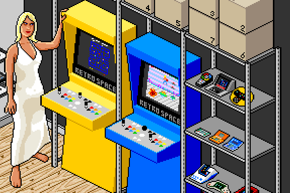
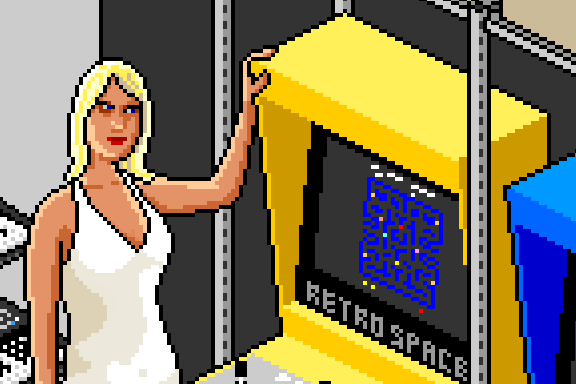
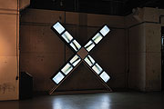
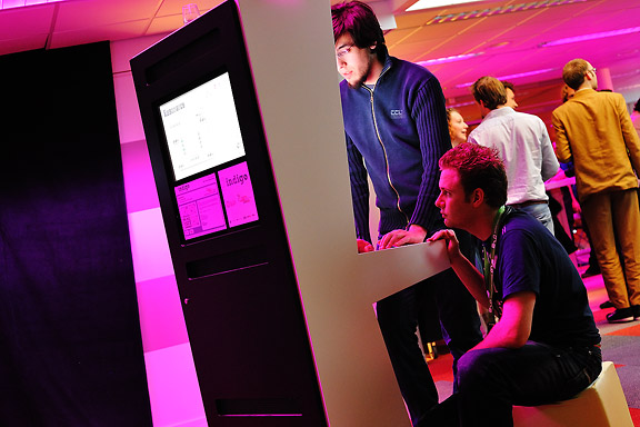
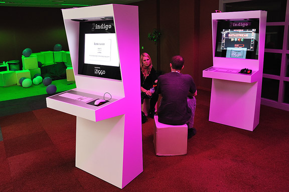
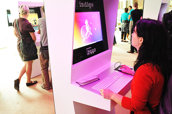
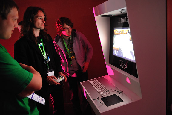
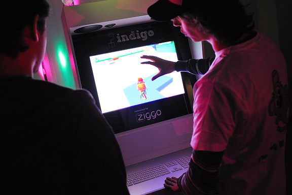
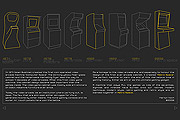
Dutch Game Garden asked me to build 26 Retro Space cabinets to showcase these games. The cabinets have a second screen in the rear access door. This display allows the creators to discuss their projects while someone is playing the game at the front.
The cabinets were set up in a rigid grid. This grid neutralised the amorphous dated office floor and gave structure to the showcase event.
Photo 4,8 and 10 courtesy of Mick Visser
 ナビゲーションに失われた
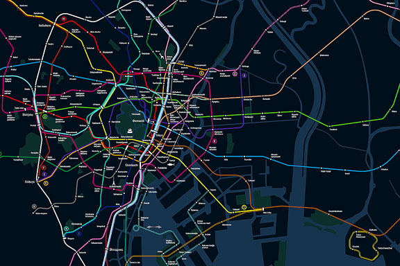
英語のみでの詳細Tokyo is a breathtaking city. Most metropolises have 1 urban railway network. Easy. Tokyo, the biggest metropolis on Earth, is a lot more complex.
The city has 2 official subway companies, the national railway operates several lines that can be considered metro lines as well, and there are tens of private operated railways that serve may areas just outside the central part of the city. Another problem is that many transfer stations use different station names on each line connected.
Creating a understandable subway map for this city is extremely complex. Should it be schematic, or geographic realistic? When is it easier to have a short walk than to switch lines?
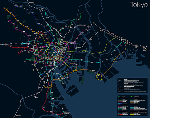
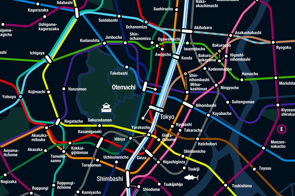
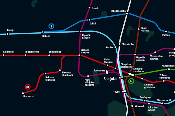
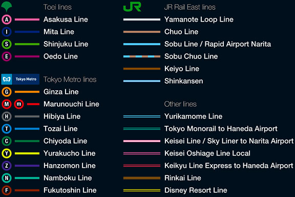
This metro map for Tokyo only shows the most important lines for visitors of the city. That is already 25 lines! All distances are realistic, and the connections to Airports and Shinkansen trains are clearly visible. The parks that give a good orientation in the grey urban mass of Tokyo are visible. Icons show the most important landmarks. Matching the million neon lights the map is drawn in a night situation with the lines as glowing neon tubes.
The map is printed on 100x75 cm photo paper in a limited run, an can be ordered. Send an e-mail or call if you are interested to order.
 私はあなたにバラ園を約束したこと
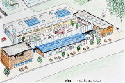
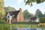
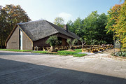
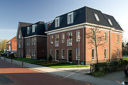
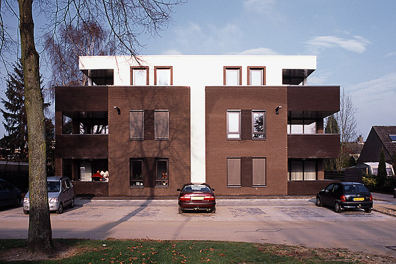
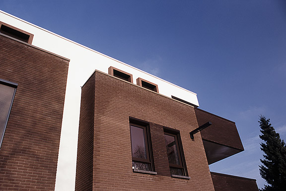
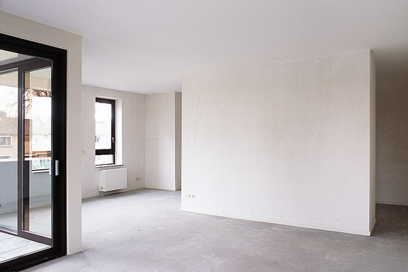
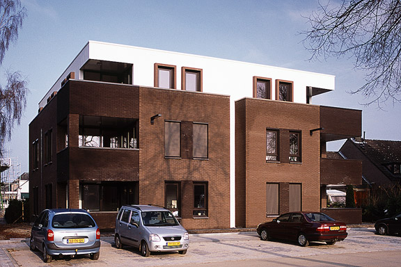
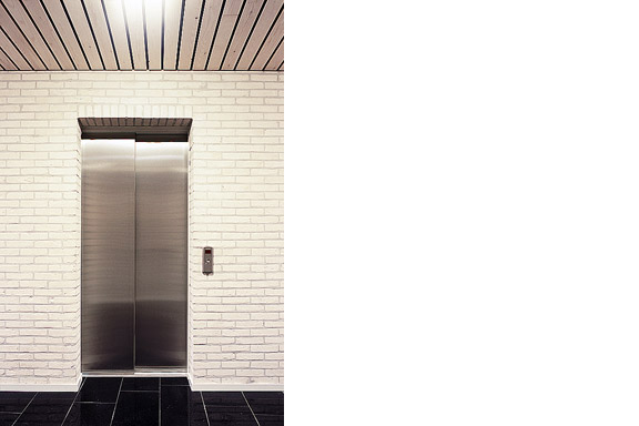
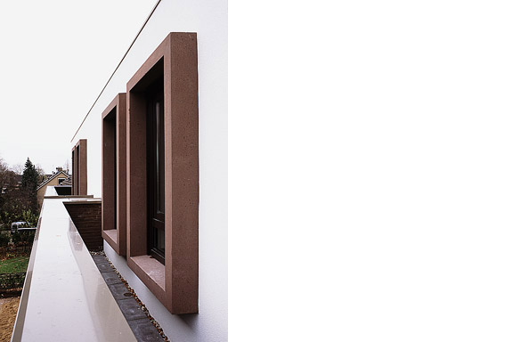
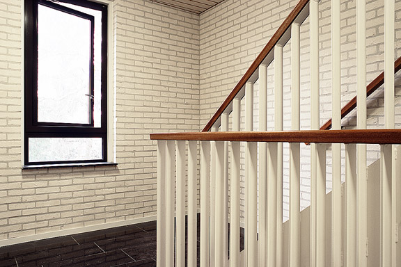
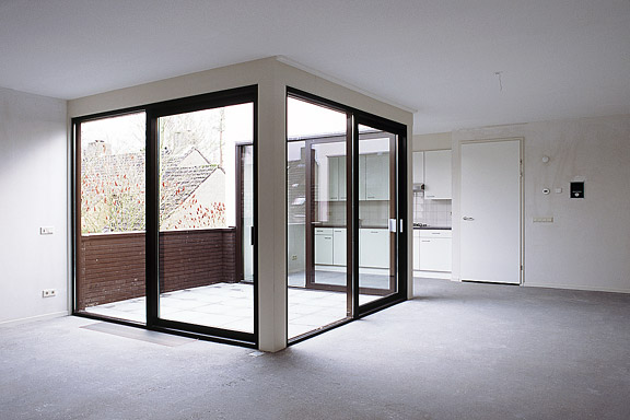
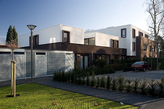
英語のみでの詳細An abandoned commercial plot in the centre of Heteren had to be filled with 19 apartments. Contractor Kuijpers had moved to the city limits and the housing corporation "Woningstichting Heteren" had 4 outdated senior-citizen houses on the adjacent plot at the Rozenpad street. The combined plot connects a traditional village street with a seventies extension to Heteren. The housing coorporation asked me to design the modernist block fitting the seventies area.
I designed this appartment block as employer of Bouwkundig ontwerp- en adviesburo van Zeist BV
 不明なモダニズム
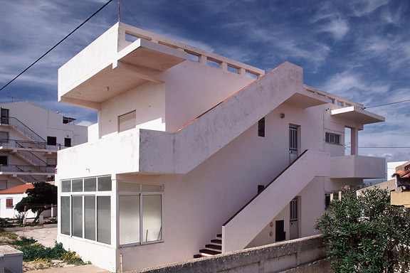
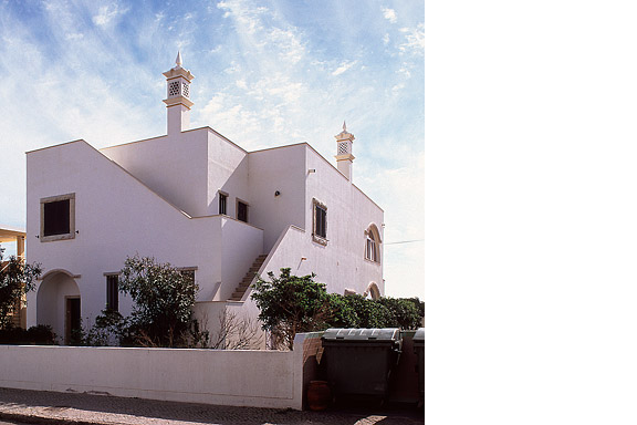
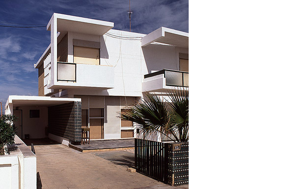
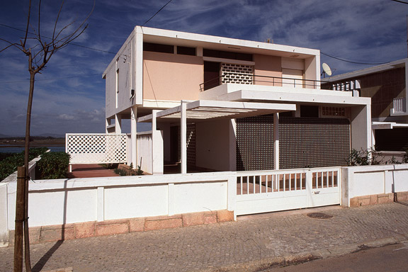
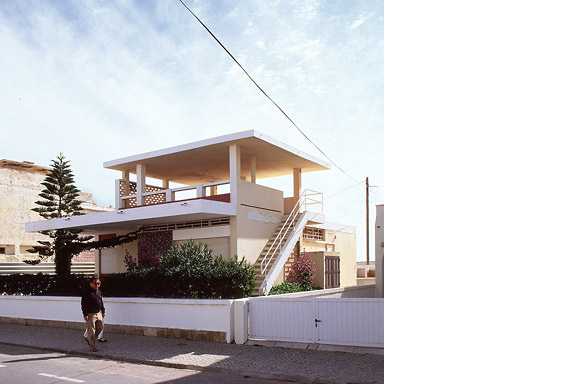
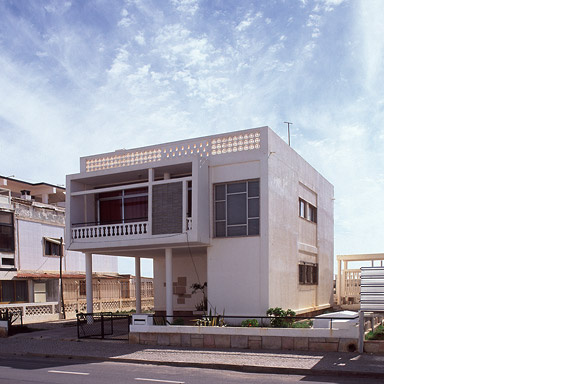
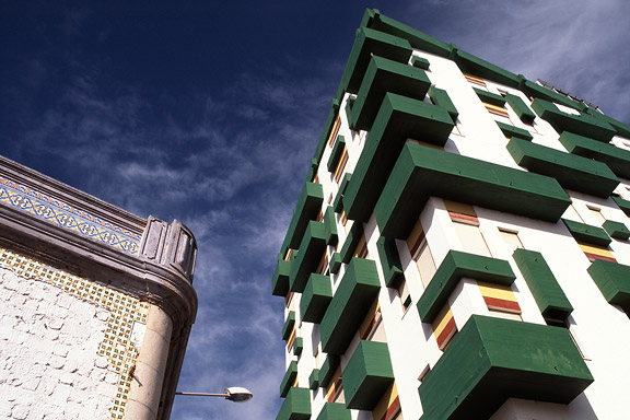
英語のみでの詳細For most tourists the city of Faro in southern Portugal is nothing more than an entrance by plane to the Algarve. Which is a pity. The biggest city of southern Portugal is probably the only one giving room to creativity. You will not see kitsch appartment blocks for Dutch and Germans, but subtile shaped private houses for the Portugese themselves. You will see images that remind of modernists like Gerrit Rietveld, Adolf Loos and Le Corbusier. You will wonder wheter MVRDV got inspiration here, or if Portugese architects checked out work of the Durch architecture firm.
 偽ワンデレス
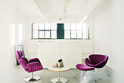
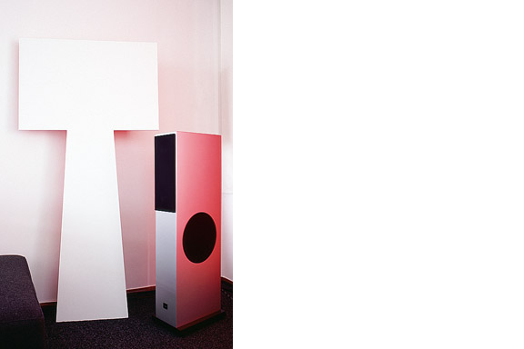
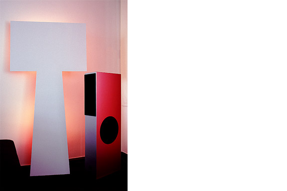
英語のみでの詳細The lamp is a joke. I had no space to place the Big Shadow Lamp by Marcel Wanders. I also liked the idea of the Fake Lamp by Sophie Krier, but not its shape. I mixed them and created the Fake Wanders. Definitely not for sale.
 蟻の巣
蟻の巣
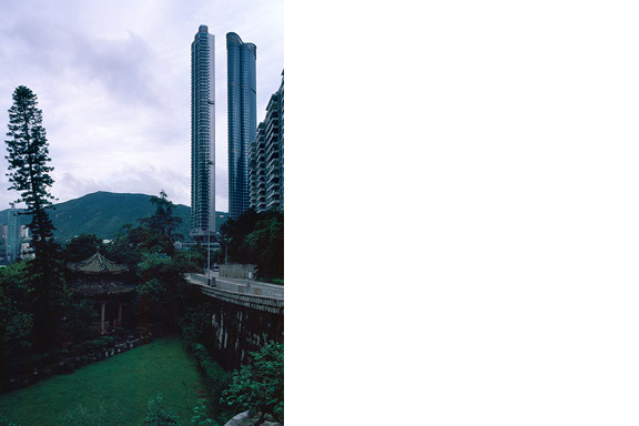
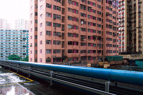
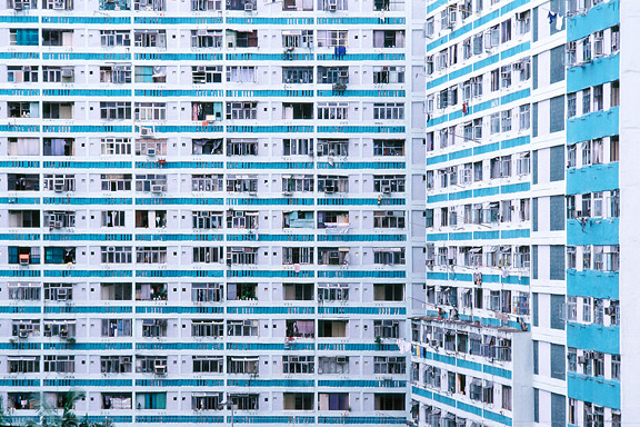
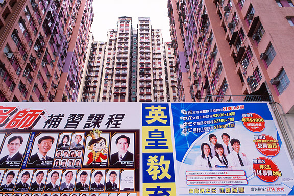
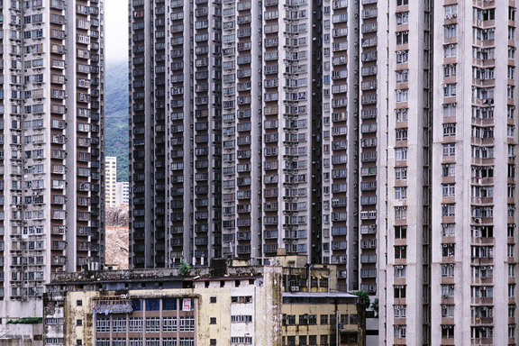
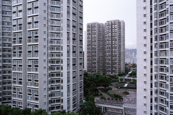
英語のみでの詳細Hong Kong has little room to built. There is a small piece of land to build on between the water and the mountains. The only option to house the millions of citizens is to use efficient towering blocks. Some area's have a FAR (floor to ground area aspect ratio) of 5 to 10.
